Skip to content

Study on the Potential Occurrence Areas of Sulfate Soils

By studying the depositional environment of clay, it is possible to determine where fine-grained sulfate soils are most likely to occur – a question that holds substantial weight for many construction projects. This predictive model, developed by GTK, uses ground investigations and topographic analyses to identify areas that pose challenges for construction work.

Sulfate soil deposit marked on the ground in an area where construction is planned. Cloudy skies and trees in the background.

Key benefits

Initial data for land use planning

The depositional environment of clay provides essential initial data for assessing the occurrence of sulphide clay in the context of land use and construction planning.

Avoiding sulfate soils through preventive actions

The service enables construction operators to predict the occurrence of problematic sulfate soils even before the implementation of targeted field studies.

GTK is the only service provider in Finland

The geospatial data analysis included in the predictive model has been developed by GTK, and it can be supplemented with, for example, services offered by GTK’s research laboratory for acid sulfate soils.

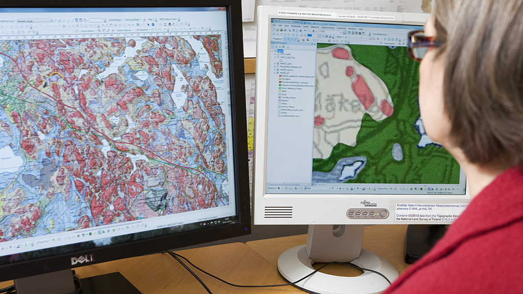
Predictive model for acid sulfate soils

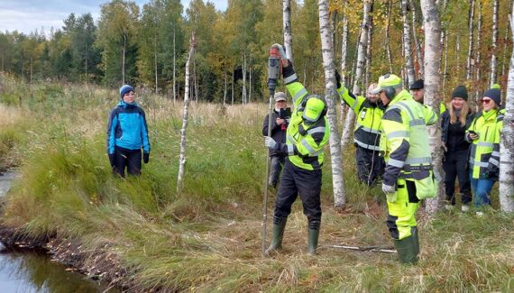
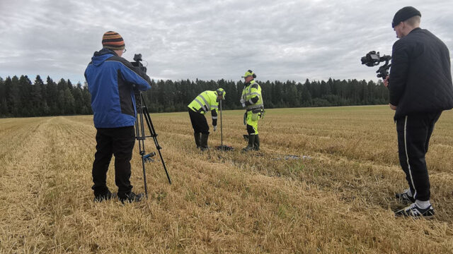
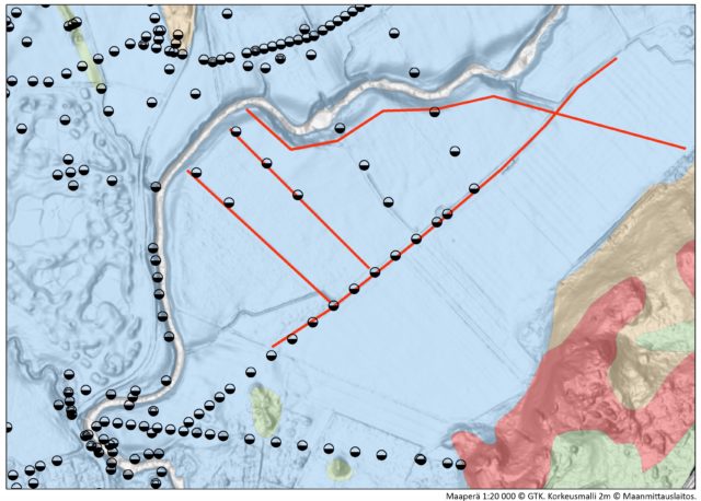
First, the geological depositional environment of fine-grained soils is analysed, following classification of the areas into different categories. The depositional environment analysis uses a depth model based on ground investigations, which, combined with an elevation model, serves as the basis for the topographical classification. Next, a predictive model for potentially acid sulfate soils is drawn up based on the classification and data on the thickness of the local clay deposits.

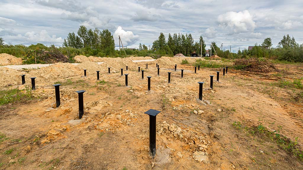
The predictive model covers both the extent and depth of the areas included in the soil surveys. In construction planning, it is important to also investigate possible sulphide layers hiding beneath the surface, as these cause a risk of corrosion to steel structures, for example.

The research data produced by the service can be incorporated into the customer’s data management systems.

The service aims to prevent the excessive soil masses that could pose an environmental risk.

Cost-effective implementation

The service is implemented by means of spatial data analysis based on existing soil surveys and drilling data. The service does not involve field studies, ensuring maximum cost-efficiency for the customer.

A female researcher creating soil map dataset in front of two display screens.

HASUdigi project`s on the ground training for local operators in Oulu.
CUSTOMER STORY

Sharing Open Data Produces Shared Benefits – City of Oulu

In the Oulu region in Northern Finland, acid sulfate soils present a permanent risk in land use planning and construction design. Cooperation between the City of Oulu and the Geological Survey of Finland GTK seeks correctly timed and easily accessible use of soil and site investigation data.

Contact us

Leave your contact information and we will get back to you.

Contact our expert

Geologist
+358295032299

Current news and information about recent research results directly to your email. Subscribe to GTK newsletter.