Soil background concentration data for land use planning and management of environmental impact
An analysis of the geochemical baseline concentrations in soil provides reliable information about the regional and local chemical element concentrations in soil and supports proactive management of the environmental impact. GTK is the operator with the most experience and expertise in soil baseline studies in Finland.
The service primarily provides information about whether there are any naturally high levels of contaminants in the studied site, but also information about any increased contaminant levels caused by widespread diffuse contamination in the topsoil.
The service helps climate-conscious land use planning: shorter soil mass transportation distances will also reduce greenhouse gas emissions.
The service includes the following
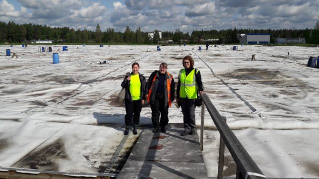
- soil survey planning
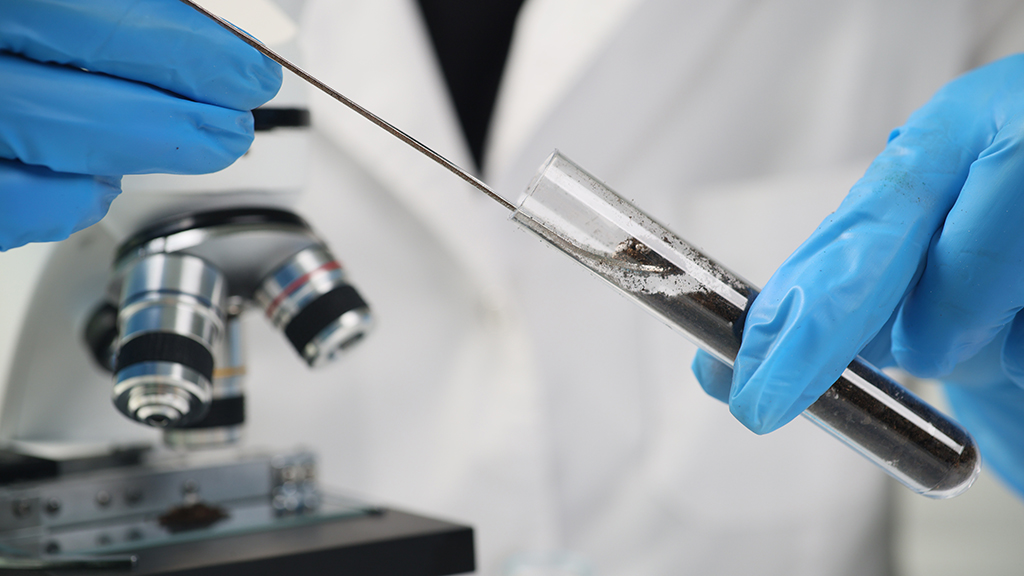
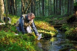
- sampling of topsoil and/or unaltered subsoil
- analysis of the samples by an accredited laboratory using accredited and standard methods (approximately 40 chemical elements and properties)
- interpretation of the results
Concentrations of arsenic and harmful metals (Government Decree 214/2007 on the Assessment of Soil Contamination and Remediation Needs) is used to calculate the regional upper limit of baseline variation. Baseline concentration studies of humus, surface water and groundwater or sediments in a watercourse can also be included in the service package.