

NEWS
The Ground Investigation Service Compiles Data for Construction Design
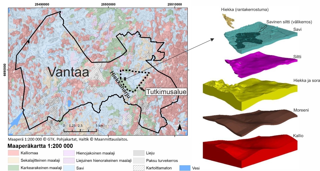
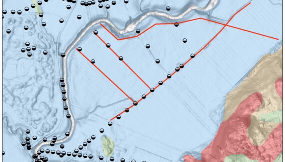
Ground investigations are conducted every time something is built. They help to identify ground conditions and to select the most appropriate foundation method. The data storage method varies from one municipality and organisation to the next. For ten years now, GTK has stored and distributed ground investigation data provided by municipalities and other public organisations free of charge through its Ground Investigation Map Service.