Geophysical Mining Environment Surveys
Geophysical methods provide an image of soil and bedrock structures, and they can be used to trace possible seepage locations in mining and waste areas.

Joint interpretation of geophysical measurements and data
This process yields an overall picture of the possible seepage locations and structure of a mining and waste area.
Further studies can be targeted correctly, saving resources
The surveys provide an image of the research site for the purposes of further studies, including sampling and additional drilling.
Preventing environmental damage
Geophysical surveys promote the process of locating and mapping potential seepage sites of harmful substances.
The most common need for the use of geophysical surveys in mining and waste areas involves the process of locating and mapping the potential seepage areas of harmful substances. Geophysical methods lay a foundation for the structural surveys of mining and waste areas by providing information on the topography of the bedrock surface, thickness of the soil cover, groundwater level, and bedrock fracturing.
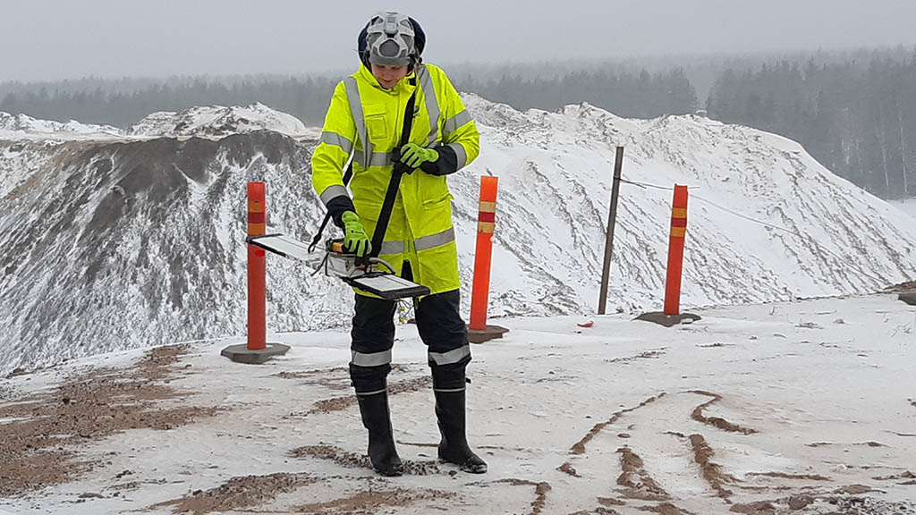
Large-scale examinations of mining and waste areas are initiated by examining and interpreting geophysical low-altitude measurements, which steer the planning of field measurements. Electromagnetic (GEM-2, Slingram/Promis, VLF-R) and electrical (electrical resistivity tomography, ERT) methods are usually best suited for the geophysical surveys of mining environments. Their results (electrical conductivity) are used to locate potential percolation sites of harmful substances. Moreover, the studies provide data on the thickness of the soil cover, topography of the bedrock surface, and bedrock fracturing.
Other widely used methods include ground-penetrating radar studies and seismic refraction surveys, which also provide information on the thickness of the soil cover, topography of the bedrock surface, and bedrock fracturing.
The infrastructure of the area dictates which method is best suited for the research site. The attainable depth and resolution depend on the selected measurement method, which is customised for each research site. Geophysical surveys provide an overview of the research site for the purposes of potential further studies, including sampling and additional drillings. The final result is a combination of the geophysical, geological and infrastructure-related data produced during the survey.
Contents of the service package:
- Planning and implementation of electromagnetic measurements, and processing and interpreting the data
- Planning and implementation of ERT measurements, and processing and interpreting the data
- Planning and implementation of ground-penetrating radar studies, and processing and interpreting the data
- Planning and implementation of seismic measurements, and processing and interpreting the data
- Joint interpretation of different geophysical datasets.
Geophysical methods generate data on potential seepage locations and structure of mining and waste areas, which helps operators to prevent environmental damages.
Contact us
Leave your contact information and we will get back to you.
Contact our expert