Geophysical Groundwater Surveys
The modelling of groundwater areas requires non-destructive geophysical methods.

Structure of groundwater areas
Geophysical surveys can be used to generate an overview of a groundwater area, and they serve as the foundation for the structural survey of the area.
Specified regional studies save resources
The overview of the groundwater area enables the accurate and resource-efficient targeting of more detailed studies.
Groundwater areas are special sites, in which the mapping and regional geological characterisation processes require non-destructive geophysical methods. Geophysical methods lay a foundation for the structural surveys of groundwater areas by providing information on the topography of the bedrock surface, thickness of the soil cover, groundwater level, and bedrock fracturing.
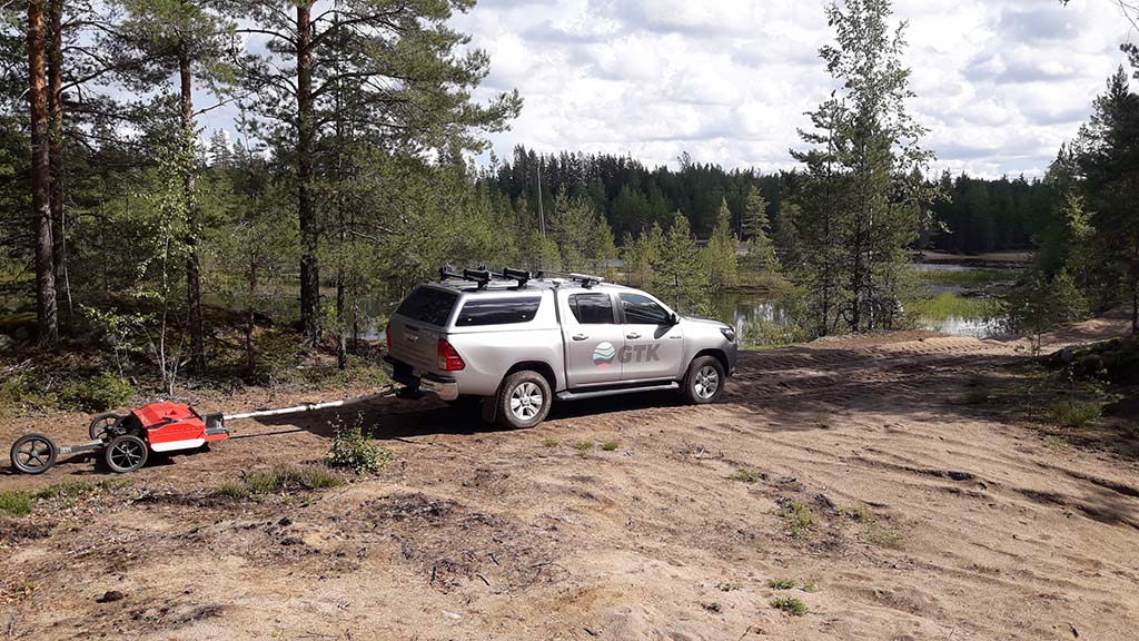
Gravity measurements, which are typical for groundwater studies, are based on the difference in soil and bedrock density. The results render an interpretation of the thickness of the soil cover and the topography of the bedrock surface. In addition, soil layers, groundwater level, and bedrock fracturing can be studied by means of, for example, ground-penetrating radar studies, seismic measurements, well-logging, and electrical resistivity tomography (ERT).
The suitability of each individual method for the groundwater research site depends, in particular, on the soil and its thickness in the area. The attainable depth and resolution depend on the selected measurement configuration, which is customised for each research site. Geophysical surveys provide an overview of the research site for the purposes of potential further studies, including additional drillings. The final structural survey of the groundwater area combines the produced geophysical and geological data.
Content of the service
- Planning and implementation of gravity measurements, and processing and interpreting the data
- Planning and implementation of ground-penetrating radar studies, and processing and interpreting the data
- Planning and implementation of ERT measurements, and processing and interpreting the data
- Planning and implementation of seismic measurements, and processing and interpreting the data
- Joint interpretation of different geophysical datasets.
Geophysical methods enable the non-destructive modelling of soil and bedrock structures in groundwater areas.
Contact us
Leave your contact information and we will get back to you.
Contact our expert