Skip to content

Drone-Operated Ground-Penetrating Radar Services for Peatlands

Detailed data on peat and ground layers promotes the successful planning and implementation of research.

Henkilö ohjaa käsiohjaimella oranssin väristä lennokkia, joka on vielä maassa.

Key benefits

Detailed data on resources

A study of regional resources based on comprehensive data.

Options for cost-effective and sustainable operations

Ground-penetrating radar (GPR) applications are used to establish a reference level and alternative solutions for implementing the operations.

From basic studies to monitoring

Cost-effective monitoring can be conducted with the help of drone imaging.

The service is aimed at exploring the resources, current status and special features of the selected site, and finding options for cost-effective and sustainable operations.

GPR applications for mires and peat reserves help to determine the reference level and the factors affecting the start of operations. The planned activities may be related to, for example, the use of resources or the further use of a peat production area. GTK’s customised reports provide each customer with a solid knowledge base for the planning and implementation of their activities. The service identifies the target site’s resources, the properties of the peatland and any constraints that should be taken into account in the operations.

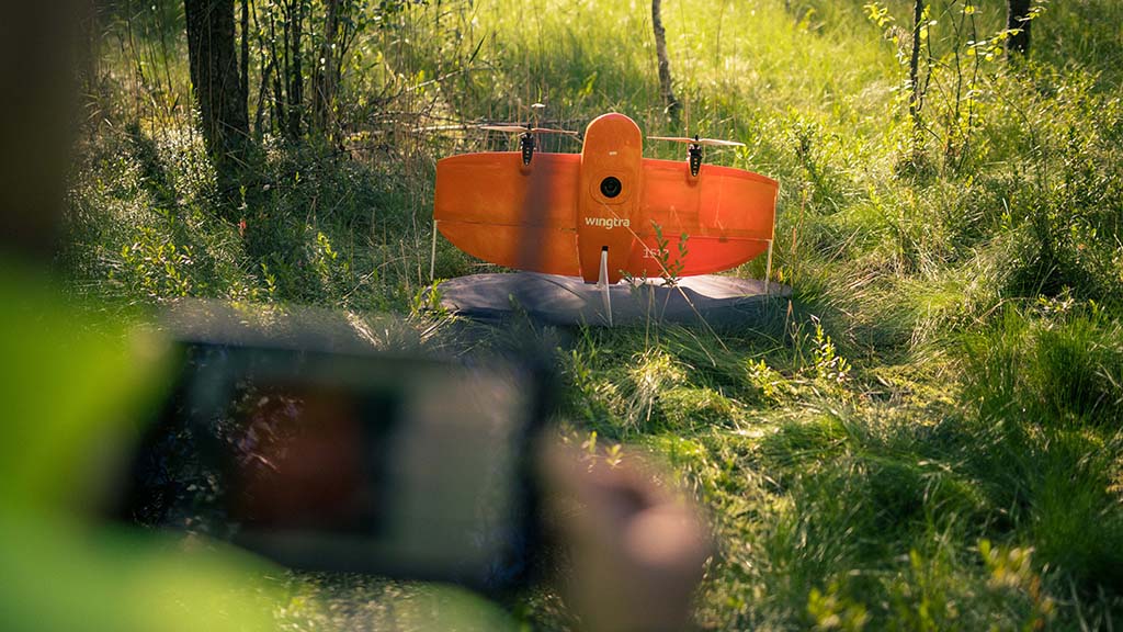
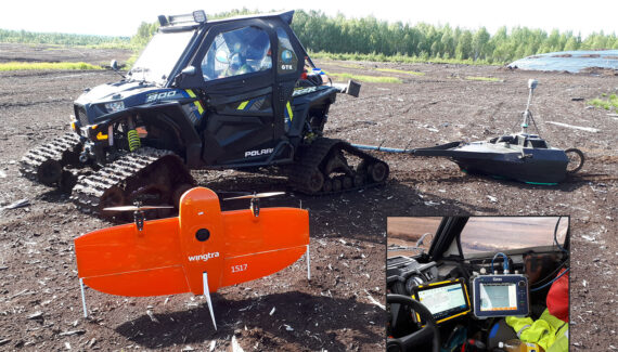
In the monitoring phase, GPR applications can be supplemented with a drone imaging service package, which is a cost-effective alternative after the basic studies. The service can also be combined with, for example, an assessment of the environmental risks of acid sulphate soils.

GTK’s decades-long experience of peatland areas guarantees high-quality data and cost-effective operations with state-of-the-art equipment.

CUSTOMER STORY — 22.10.2020

Vapo Group – New industry from a familiar raw material

Vapo Group is developing new Finnish high value products for global markets. Geological Survey of Finland (GTK) provides applied research and innovative methods for Vapo Group to base their development on.
BLOG — 2.3.2020

Service package with a ground-penetrating radar and a drone for peat research

There has been a long-term customer relationship between the Geological Survey of Finland (GTK) and Vapo Group in the study of peat production fields. During the last 20 years, over 400 peat production areas have been surveyed with ground penetrating radar (GPR) using a line spacing of 40 metres. The total area surveyed has been approximately 45,000 hectares. This equates to approximately 10,000 kilometres of GPR survey line and approximately 3.9 million drill points equivalent to radar interpretation points.

Contact us

Leave your contact information and we will get back to you.

Contact our expert

Geologist
+358295033319

Current news and information about recent research results directly to your email. Subscribe to GTK newsletter.