Geophysical Applications
Geophysics is needed in all our research areas, from critical raw materials to sustainable water resources and energy transition. Our research focuses on applied geophysics that promotes the availability of raw materials and the sustainable use of the environment.
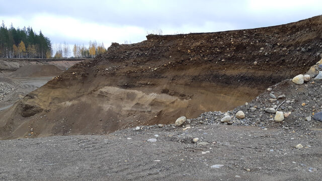
Geophysics allows us to obtain more accurate and extensive, often three-dimensional information about Earth’s crust without harming nature. Information on the properties, variability and quality of soil and bedrock is used to improve the well-being of people and nature and to increase economic benefits.
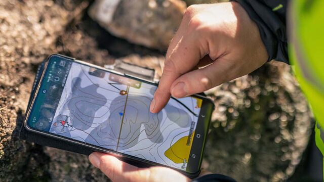
Our operations focus on producing geophysics measurement data and interpreting the results.
The implementation of the measurements focuses on versatile expertise and the use of the latest measurement methods.
In the interpretation, we make use of high-quality programmes in cooperation with experts from other focus areas.
Geophysics research results provide comprehensive map data for land use and land use planning. For companies and public actors, we produce materials and interpretations related to mineral raw materials, groundwater and the environment.
Interpretations and models produce information that benefits society at large and supports natural resource research, environmental monitoring, risk assessment and sustainable development.
Blog post — 24.11.2023
Management of National Geodata Is One of Basic Tasks of Geological Survey of Finland
Blog post — 29.8.2023
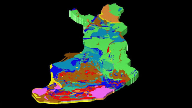
3D Model of the Upper Crust of Finland Looks below the Earth’s Surface
Get in touch
Get in touch with an expert