The Development of Geospatial Technology as Part of Broader Development Earns the Geological Survey of Finland an International Award
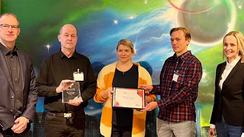
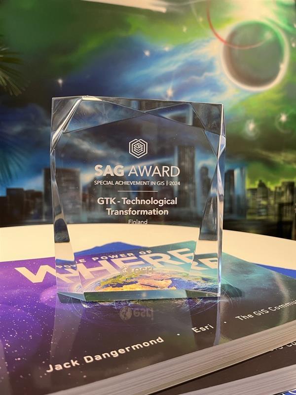
The Geological Survey of Finland (GTK) has updated its geoscience information management system (geoscience information system), in which geospatial solutions play a significant role. In recognition of this work, GTK received the Special Achievement in GIS (SAG) award from Esri, a global provider of geospatial solutions. The award was based on GTK’s exemplary role as a pioneer and its successful transition to utilizing modern geospatial technology. The award recipients are selected annually from over 600,000 nominees.

GTK produces, compiles, and utilizes geoscientific information in various ways. In 2022, GTK launched the Geoscience Information Development Program aimed at modernizing the geoscience information system, updating the data repository, improving operational efficiency, and advancing expertise.
 GTK decided to harness the flexibility and scalability provided by cloud services in its solutions. The new geoscience information system integrates the benefits of cloud services and local solutions into a single dynamic entity. The ArcGIS geospatial software is also part of this new system.
“We have a wide range of data sources, and the amount of data is vast. Therefore, developing a dynamic platform suitable for diverse geospatial applications was crucial. For instance, in fieldwork across Finland, mobile applications facilitate and expedite the work of our experts,” says Tomi Rönkkö, team manager at GTK.
The implementation of the geoscience information system development was based on a multi-supplier model, involving both GTK’s in-house experts and external partners in the development efforts.
More Information
Tomi Rönkkö, team manager
Geological Survey of Finland
tomi.ronkko@gtk.fi
tel. +358 29 503 3279
Mirjam Orvomaa, senior specialist, project manager
Geological Survey of Finland
mirjam.orvomaa@gtk.fi
tel. +358 29 503 0115
