The Deep Groundwater Project in Kurikka Proceeds to the Next Phase Where the Water Extraction Volume Will Be Examined by Test Pumping and Modelling
The Geological Survey of Finland (GTK) continues its groundwater research in the Kurikka region in cooperation with Vaasan Vesi, Kurikan Vesihuolto Oy and the Southern Ostrobothnia ELY Centre. The aim of the research is to find enough groundwater reserves in the Kurikka region to meet the demands of 150,000 residents and the large food industries in the Vaasa and Kurikka regions. The project is Finland’s largest groundwater project at the moment.

Thanks to the persistent and long-term interaction with the local stakeholders, the project has gained strong regional support, which in turn has promoted the success of the research project in its many phases. At present, it looks like groundwater from Kurikka will reach Vaasa residents’ taps in 2035. The groundwater could possibly also be used to secure water supply on a wider scale in Southern Ostrobothnia, but more research is needed to verify this.
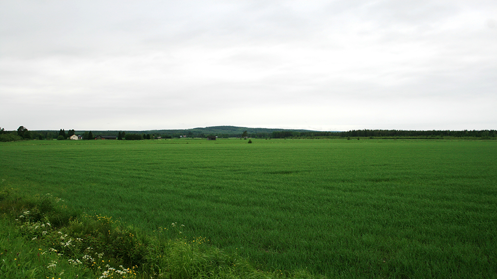
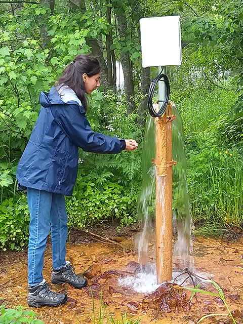
The groundwater studies started in 2010 when the Kurikka aquifer system was discovered – the artesian groundwater in the area was first reported in the 1940s. The drilling campaign carried out approximately ten years ago penetrated across the overburden. Thick layers of sand and gravels separated by till layers was found in the ancient valley. Clay and silt layers on the top form an impermeable layer to the aquifer system forming a confining character for the groundwater. Therefore artesian wells are typically found everywhere in the low-lying regions.
The Kurikka Aquifer System Is Unique
The discovery of large aquifers inspired the idea of large-scale water abstraction in the Kurikka area, which then triggered the interest of the City of Vaasa in the groundwater potential of the region. The soil in Kurikka is exceptionally thick and complex in structure, and the fragmented bedrock surface of the area contributes to the significance of the groundwater body. Groundwater is recharged in the surrounding large uplands and flow into the buried valley by gravity. The groundwater in the region is not only fresh and of superb quality, but also well-protected under the thick layers of clay and silt.
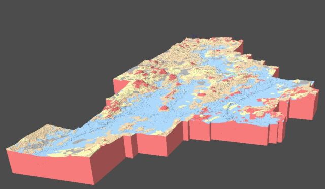
From GTK’s perspective, the Kurikka aquifer is interesting due to its unique type and previously unseen scale, which makes it an attractive target for geological and hydrogeological research and modelling. GTK has tested and adopted new research methods and work processes in Kurikka, allowing the aquifer system to be researched at a sufficient level of detail. As research has progressed, GTK has developed its sediment survey and modelling concept to meet the needs of a large-scale multi-layer aquifer. Scientific principles have been applied to practical research and the results have been reported for both practical and scientific purposes.

Opportunities for Scientific Research Are at the Core of GTK’s Operations
Surveys of the aquifer system have been going on for years, but they are now nearing completion as the focus shifts towards test pumpings and numerical multidimensional modelling approaches in the geology and hydrogeology themes. At present, the most significant result of the project is that groundwater, in the first-phase research areas, can be consumed sustainably at a rate of 10,000 mᶾ per day. The ultimate goal is to reach a sustainable consumption of 18,000–20,000 mᶾ per day by late 2023 and early 2024 when the research results of the areas currently being studied and reported.
Scientific research attitude has played a central role since the foundation of the project was established. The first significant research result deals with ancient valley formation and preservation. It was published in an article that discussed the weak erosion of the bedrock in Southern Finland Ultra-slow cratonic denudation in Finland since 1.5 Ga indicated by tiered unconformities and impact structures. Upcoming scientific research and publications will examine the unique deep groundwater aquifer in Kurikka from the perspective of geology, hydrogeology and hydrogeochemistry.

