Geodiversity Lays the Foundation for Biodiversity
International Geodiversity Day is celebrated annually on 6 October. Geology is an inseparable part of natural diversity – geology in itself is a diverse field, and it lays the foundation for biodiversity. How are geodiversity and biodiversity linked to one another, and how can they be studied in Finland?
The Geological Survey of Finland GTK studies the interaction between geodiversity and biodiversity in particular and strives to find solutions for ecological compensation and the nature value market. “Geodiversity” is a key concept in environmental research, but what does it actually mean?
Geodiversity
To put it simply, geodiversity can be defined as diversity of the non-living natural environment. If we want to be more specific, geodiversity encompasses the diversity of bedrock, soil, topography, hydrology, and all of the related processes. Together, all these features form what is known as geodiversity. Geodiversity is an equally important part of natural diversity as is the diversity of living organisms, i.e. biodiversity.
International Geodiversity Day is celebrated on 6 October.
Natural diversity encompasses both living and non-living organisms
Geodiversity is a platform for a wide range of habitats with varying characteristics. Over time, species have developed to adapt to these environments, thus increasing the diversity of the living nature. For example, features such as the nutrient content in soil, water economy, diversity of water bodies, and soil topography are all part of geodiversity which, in turn, affects the life and abundance of living organisms. In fact, many of our protected endangered habitats depend on geology and its diversity, including coastal forested and open dunes, serpentine rocks, and eelgrass meadows.
The connection between geodiversity and biodiversity is dependent on factors such as the climate, scale of observation, spread of different species, and succession stage. At the global level, the widest biodiversity in all terrestrial ecosystems is found in rainforests, which are often located on nutrient-poor soil but have been able to grow and flourish thanks to a favourable climate and long-term undisturbed development. On the other hand, barriers such as mountains and water bodies may prevent the spread of species and thus affect biodiversity, even if the soil qualities would be favourable for a wide range of organisms.
In terms of landscape, geomorphology increases the diversity of plant species. At present, we know very little about the impact of human activity on the relationship between geodiversity and biodiversity, but the need for research is emphasised by, for example, the EU Regulation on Nature Restoration.
Geodiversity and biodiversity are both inherently associated with ecosystem services provided by nature, meaning the cost-free benefits that nature offers and produces for humans. These include, among others, the activities of pollinators, oxygen production, carbon sequestration, water management, berry and mushroom crops, and recreational opportunities. Geo- and biodiversity are studied at GTK in various geological environments.
Rich fens – showcasing the diversity of mires
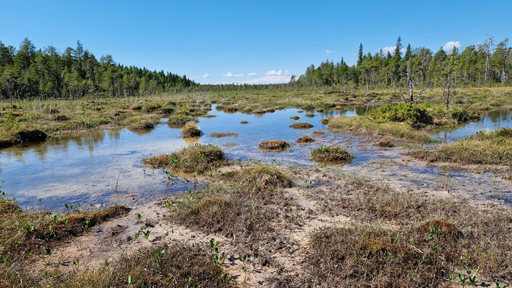
In Finland, the hidden meaning of the non-living nature can be observed for example in rich, eutrophic fens. Maybe it is not a coincidence that some of the most impressive rich fen areas are located in the limestone area of Keminmaa and Tervola, in the dolomite and limestone area of Oulanka, and in the greenstone belt of Kittilä.
The rich fen species need nutrients, especially calcium (but not so much the conventional growth nutrients phosphorus and nitrogen) and a specific water chemistry: the water pH in rich fens is almost neutral or only slightly acidic. The chemical erosion of calcareous bedrock or soil helps to keep the water less acidic and welcoming for rich fen species.
In the ENGEO project, GTK examines the applicability of hyperspectral imaging in the identification of rich fens, and studies the connections between rock and soil geology and known rich fen sites.
Unique geodiversity and biodiversity of the Baltic Sea
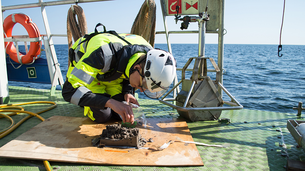
The Baltic Sea is a young sea that continues to change, especially as a result of the land uplift. The sea level has varied over geological time: for example, during the last glaciation around 20,000 years ago, the entire Baltic Sea area was glaciated. The geological history of the Baltic Sea is also visible on the seafloor.
The fragmented structure of the Finnish bedrock, the results of erosion and sedimentation during the glaciation, and the ongoing processes have all contributed to our marine environment. Similarly to land areas, the composition, structure, and topography of the seafloor also vary depending on the location. The most geologically diverse areas of the Baltic Sea are partly located in Finnish sea areas, especially in the crystalline bedrock areas of the northern Baltic Sea and close to the shoreline, particularly in the archipelago.
The Finnish Inventory Programme for Underwater Marine Diversity (VELMU) has been operational for 20 years. Within the inventory programme, GTK’s task has been to produce data especially on the geodiversity of the seafloor. Indeed, our understanding of Finland’s marine nature has increased considerably during VELMU, creating a significant knowledge base for the sustainable use and protection of the sea and its natural resources.
GTK is also involved in studying the geological diversity of the Baltic Sea in two other projects, namely Biodiversea LIFE-IP and Interreg Aurora SeaMoreEco. Biodiversea is Finland’s largest cooperation project aimed at safeguarding the diverse nature of the Baltic Sea. The goal is to enhance the protection of marine nature and promote the sustainable use of natural resources in the marine and coastal areas of Finland.
Diversity is essential for soil health
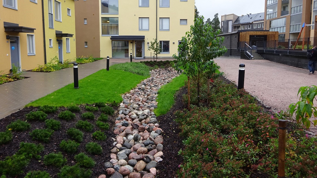
A healthy soil provides clean groundwater and a safe substrate for food production. Moreover, healthy soil effectively degrades harmful substances and works as a buffer against contaminants. The so-called natural attenuation of soil can be utilised, for example, in the remediation of contaminated soil, treatment of harmful substances as part of water management, and in managed aquifer recharge (MAR).
Soil also provides a viable platform for developing nature-based solutions for adapting to the impacts of climate change, including stormwater and flood water management. Furthermore, the preservation of soil-based carbon sinks is an essential part of our efforts to mitigate climate change.
Features that threaten the soil and its functions include, among others, chemical and physical erosion, drought, contaminants and chemicals, compaction, soil sealing, salinisation, and acidification. In the EU, soil health and soil protection are promoted by the EU Soil Strategy. A directive on soil monitoring is also being prepared with the aim of preventing soil risks and protecting human health.
Geoparks reflect natural geodiversity
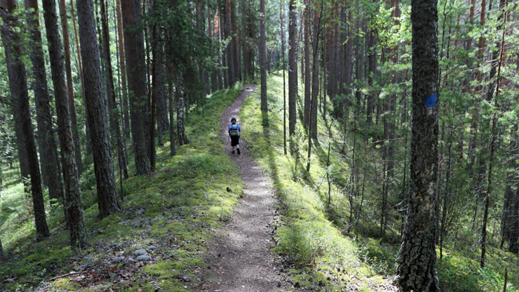
A Geopark is a single, unified geographical area that holds internationally significant geological sites and regional natural and cultural value. Geoparks are utilised in teaching, as tourist destinations, and in scientific research. There are five UNESCO Global Geoparks in Finland, all of which reflect the geological diversity of nature. Moreover, these Geoparks represent the link between geological heritage and regional natural and cultural heritage.
The Finnish Geoparks include the Lappajärvi crater lake, Lauhanvuori-Hämeenkangas, Rokua, Saimaa, and Salpausselkä. In addition to the Geoparks, valuable geological formations and deposits have been mapped and inventoried in Finland to create an information base to support land use planning.
References
Geodiversity and biodiversity
Quantitative geodiversity assessment in biodiversity investigations.
Toivanen, M. 2024. Nordia Geographical Publications, 53(2), 1–70.
Multi-scale relationship between geodiversity and biodiversity across high-latitude environments: implications for nature conservation.
Tukiainen, H. 2020. Nordia Geographical Publications 48(1). ISBN: 978-952-62-2230-1.
Maisematason geodiversiteetti Suomessa (abstract available in English).
Tukiainen, H. & Hjort, J. 2021. Terra 133, 55-76.
Geodiversity and Biodiversity.
Tukiainen, H., Toivanen, M. & Maliniemi T. 2023. Geological Society, London, Special Publications, 530(1), 31–47.
Soil
The European Union Soil Strategy (pdf) (europa.eu)
Soil protection website of the Finnish Ministry of the Environment
Monitoring and State of Finland’s Soil and Policy Instruments for Its Use (abstract available in English).
Haavisto, T. (ed.) 2023. Publications of the Ministry of the Environment 2023:33.
Geoparks
Further information
Research projects
Project introduction:
SeaMoreEco – Seamless Monitoring, Restoration and Conservation in the Northern Gulf of Bothnia
Project introduction:
ISLANDR – Information-Based Strategies for Land Remediation
Project introduction:
ENGEO
The Finnish Inventory Programme for Underwater Marine Diversity − Velmu:
The Velmu website
Project introduction:
Biodiversea LIFE-IP – Enhancing the Marine and Coastal Biodiversity of the Baltic Sea in Finland and Promoting the Sustainable Use of Marine Resources
Experts
Maija Lampela
Oona Allonen
Lauri Ikkala
Jaana Jarva
Tapio Kananoja
Anu Kaskela
Kristiina Nuottimäki
Tuija Vähäkuopus
The experts are researchers at GTK’s Environmental Solutions unit. The unit is involved in extensive research of the environmental impacts of land and sea areas, including the interaction between geodiversity and biodiversity.
